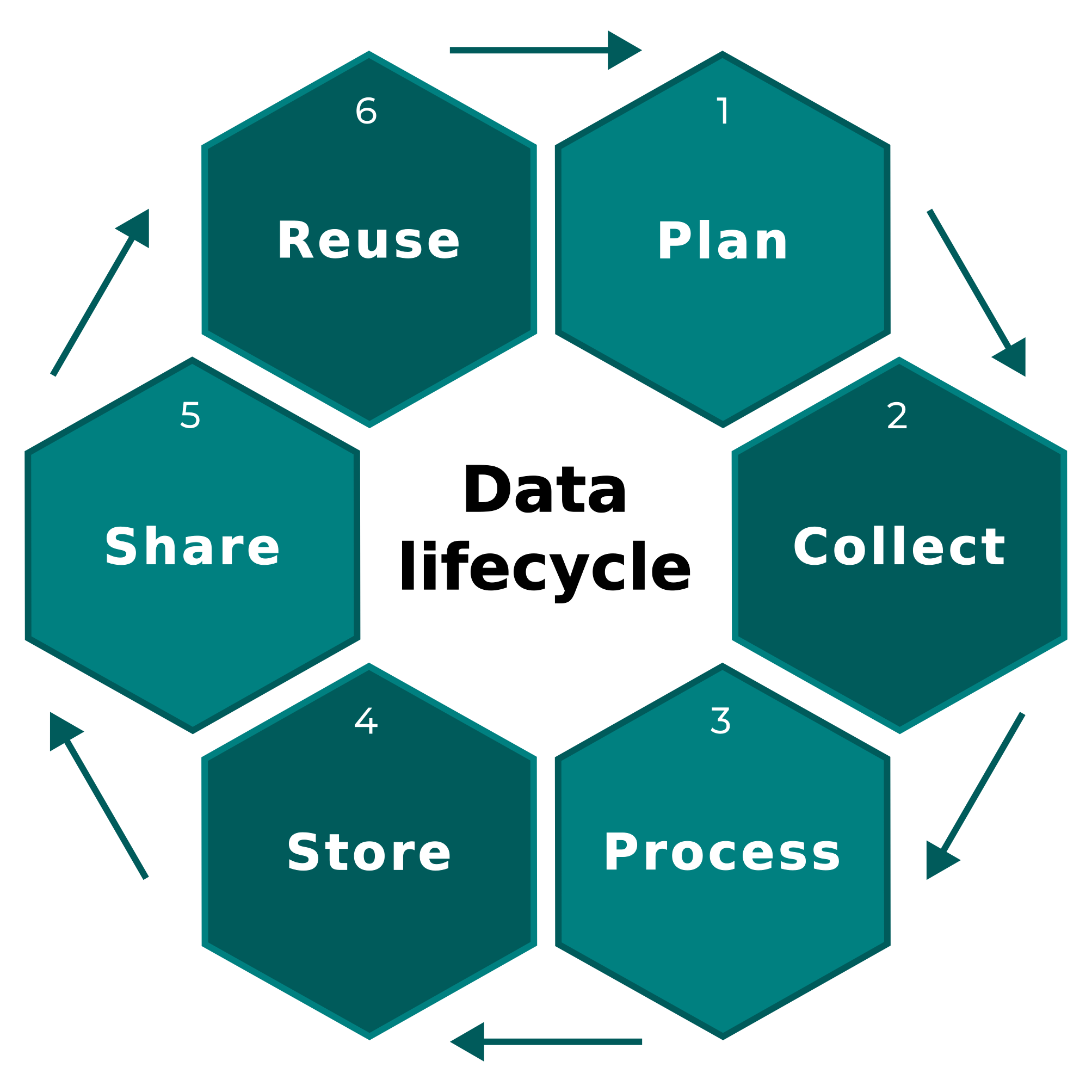
Data lifecycle
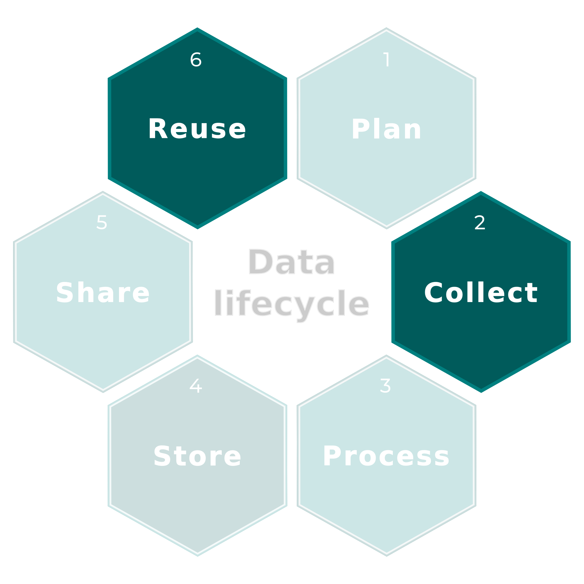
Data lifecycle
Climate & weather
WorldClim
Downloadable GeoTiff zipped files of Average minimum temperature (°C), average maximum temperature (°C) and total precipitation (mm), at resolutions from 30 seconds (~1 km2 at the equator) to 10 minutes (~340 km2).
- Historical climate data
- Historical monthly weather data
- Future climate data based on CMIP6 models
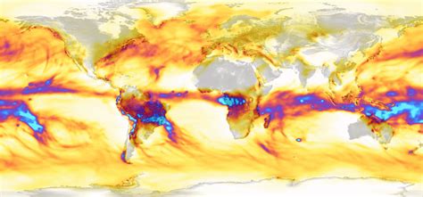
Chelsa
Climatologies at high resolution for the earth’s land surface areas is a very high resolution (30 arc sec, ~1km) global downscaled climate data set
Daily, monthly, annual means for temperature, precipitation, wind speed, droughts, etc.
Land cover
Copernicus
Earth observation component of the European Union’s Space programme, looking at our planet and its environment to benefit all European citizens. It offers information services that draw from satellite Earth Observation and in-situ (non-space) data.
At the heart of Copernicus is a constellation of satellites – the Sentinels – that make a huge number of daily observations of the Earth ecosystem.
Each satellite has its specificities and you should read about them before anything else.
Download data through many different portals: Copernicus Atmosphere Monitoring Service (CAMS) Portal, Copernicus Marine Monitoring Service (CMEMS) Portal, Copernicus Land Monitoring Service where Corine is just one of them…
Land cover
Corine Land Cover
CORINE Land Cover (CLC) is a pan-European land cover and land use inventory with 44 thematic classes, ranging from broad forested areas to individual vineyards
Updated every six years (most recent in 2018).
WorldCover
WorldCover provides the first global land cover products for 2020 and 2021 at 10m resolution, developed and validated in near-real time based on Sentinel-1 and Sentinel-2 data.
Data access protocol here.
Water bodies
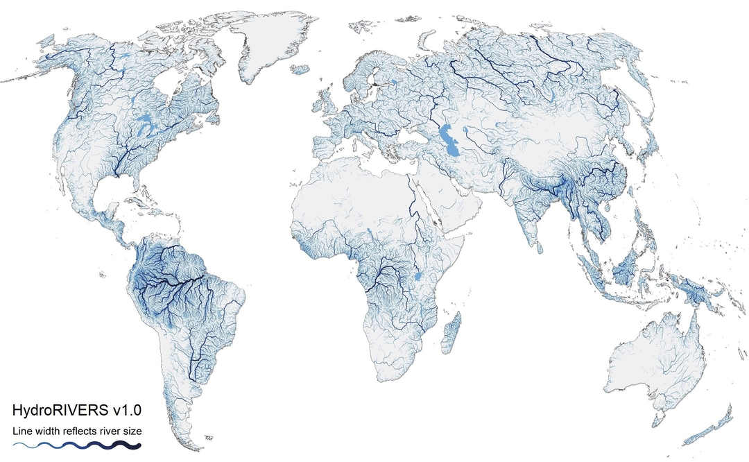
World rivers
HydroSheds: a suite of global digital data layers in support of hydro-ecological research and applications worldwide. Its various hydrographic data products include catchment boundaries, river networks, and lakes at multiple resolutions and scales.
Hydrography.org: 90m layers, world wide, mostly rasters. Lots of physical measures (stream length, water accumulation, etc). Multiple access possibilities.
Protected areas
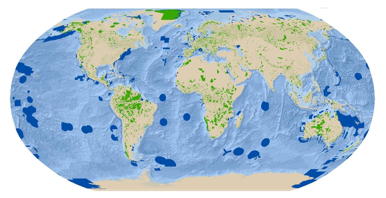
WDPA
Most comprehensive global database of marine and terrestrial protected areas. It is a joint project between UN Environment Programme and the International Union for Conservation of Nature (IUCN).
Interactive exploration here.
And a user guide PDF
Country boundaries
GADM
GADM provides maps and spatial data for all countries and their sub-divisions.
Browse our maps or download the data by country.
Natural Earth
Natural Earth is a public domain map dataset available at 1:10m, 1:50m, and 1:110 million scales. Featuring tightly integrated vector and raster data.
Available features list here.

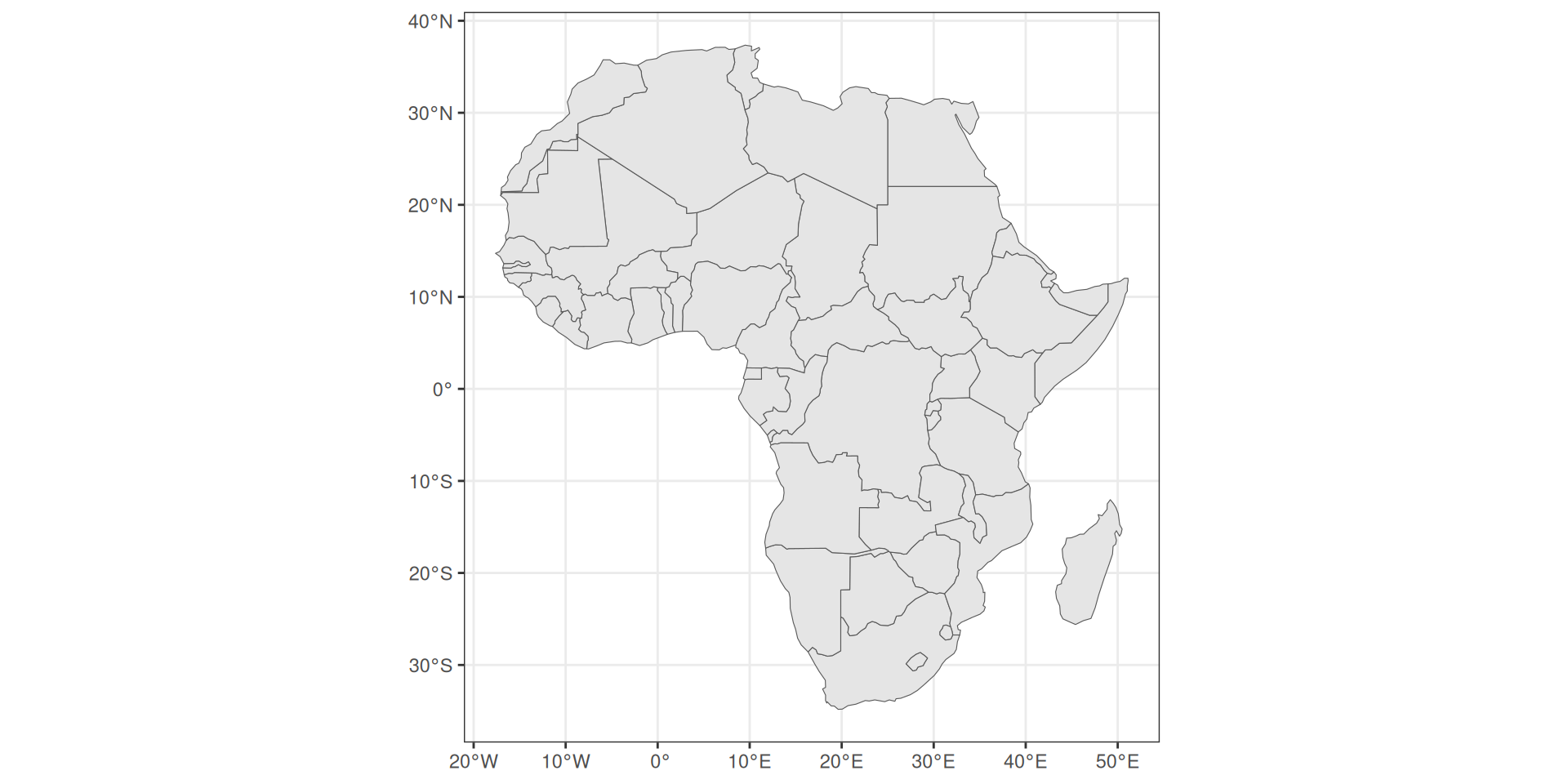
Country boundaries
Check out the package rnaturalearth:
Data aggregators
Theia data catalog
Five major themes: cryosphere, continental waters, land cover, agrosystems & biodiversity and imagery & radiometry.
ODATIS Ocean Center
French Ocean observation data : Ocean observations sampled in situ and using remote sensing.
FormaTerre
On-demand processing for Digital Surface Models, ground deformation monitoring, etc.
PNDB, the biodiversity hub
Metadata catalog to access biodiversity data.
AERIS
National data management activities and atmospheric science expertise.